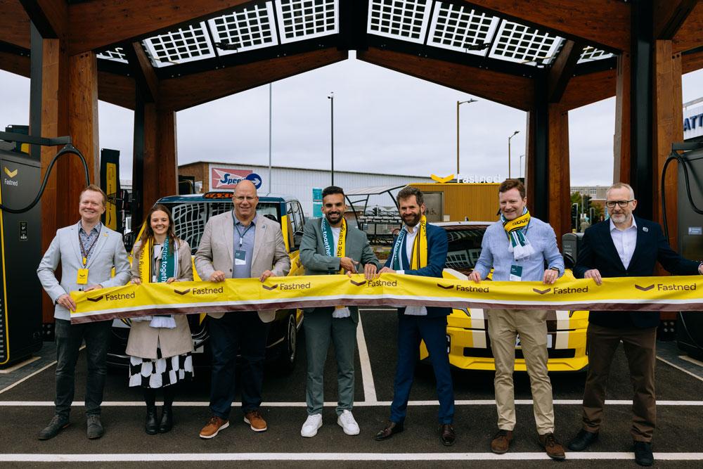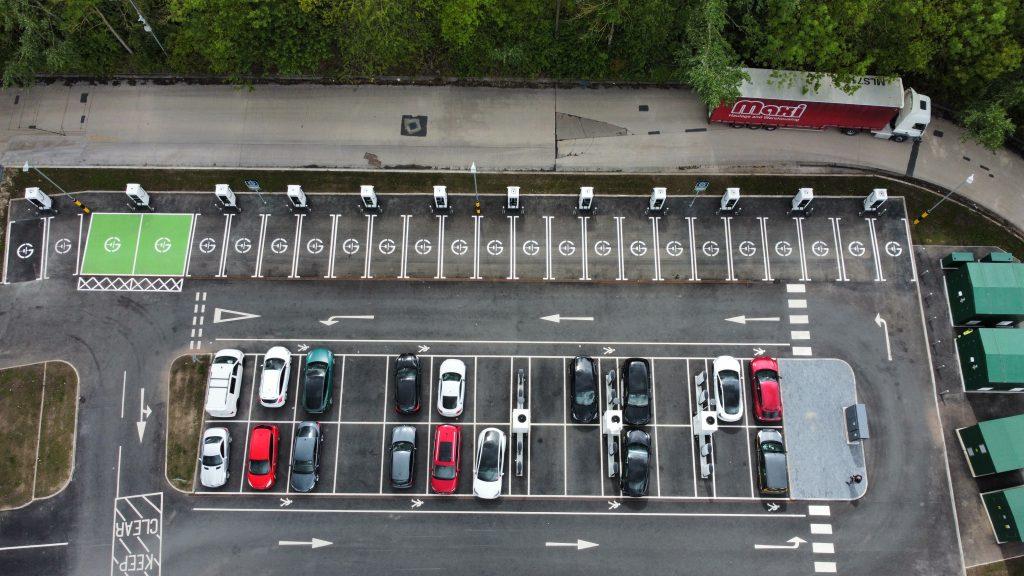
The Geospatial Commission has launched a project to explore how location data can be better utilised to support planning and delivery of electric vehicle charge points by local authorities.
The Geospatial Commission discovery project includes workshops with 10 local authorities to identify challenges and opportunities for better use of location data in the rollout of EV chargepoint infrastructure. This project will be undertaken by technical specialists Frazer-Nash Consultancy.
Dr Steve Unger, Commissioner at the Geospatial Commission, said: "Location data will play a key role in planning the UK’s transition to electric vehicles and help make net zero a reality. Through this project, the Geospatial Commission will understand the challenges faced by local authorities who wish to exploit location data. By working together, we will be able to unlock the potential for data-driven innovation in transport."
The following local authorities are involved in the project:
Oxfordshire County Council
City of York Council
Norfolk County Council
Greater Manchester Combined Authority
West Sussex County Council
Cornwall Council
Kent County Council
Leeds City Council
Wiltshire Council
Cheshire East Council